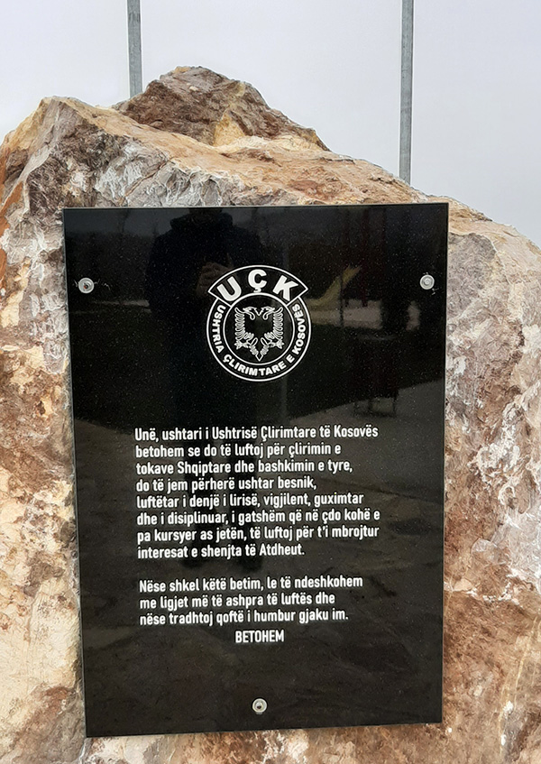
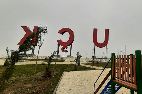
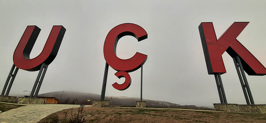
KLA Hill in Ngucat

8GJ2FV77+V7

Georeference: 42.464722 20.863138
Category: Natural Assets
Subcategory: Hill
Legal Status of Protection: No
Is it used for tourism?: Yes
If not, is there potential for tourism in the future?: /
Road infrastructure to the location: Good
Marking and orientation to the location: There are no road signs
Tables on site: There are information boards
Visited 220 times, 1 Visit today

Posted in Hill and Natural Assets

Related Listings

Pedestrian and bicycle path downhill between the villages of Domanek and Bubël/Bublje. Georeference: 42.5252709; 20.6720655 Category: Natural Assets Subcategory: Marked path Legal Status of Protection: No Is it used for tourism?: No If not, is there potential for tourism in the future?: Yes Road infrastructure to the location: Good Marking… Read more…

The Black Stone

8GJ24QCQ+6R

The Black Stone is one of the peaks of the Sharr mountains. It is located at 2536 m above sea level. Next to it is the ski resort of Brezë/Brezovica. Georeference: 42.120545; 20.789624 Category: Natural Assets Subcategory: Mountain peak/Summit Legal Status of Protection: As part of the National Park “Sharri”.… Read more…

Pine trunk (Pinus sp.) in Delloc/Delovce

Delovce, Komuna Suharekë

Natural monument of botanical character in the village of Delloc/Delovce. Near the monument you can find a fountain as well. Georeference: 42.282685 20.918578 Category: Natural Assets Subcategory: Oak Legal Status of Protection: Category: Natural Monument. Code: MN_055 Is it used for tourism?: Yes If not, is there potential for tourism… Read more…