Overview
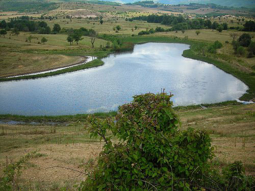
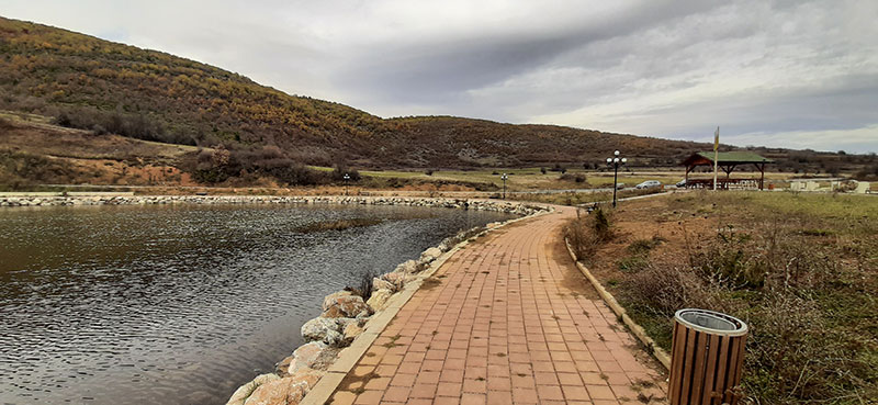
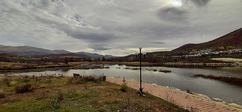
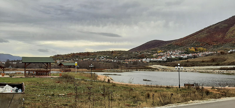
The length of the lake is about 250m, the width is 100m, and the greatest depth is about 10m. The water is green around the banks and is covered with shavar and other lake plants. There is also a willow tree on the edge of the lake.
Georeference: 42.130612419465926, 20.641282751793476
Category: Natural Assets
Subcategory: Lake
Legal Status of Protection: No
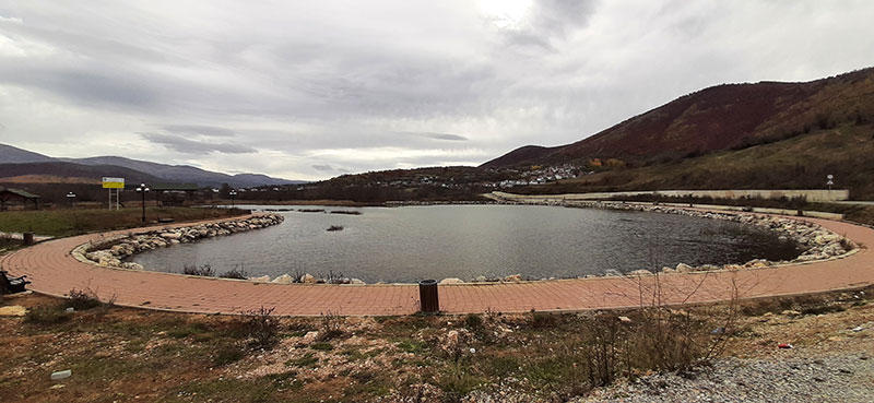
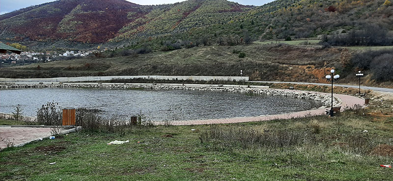
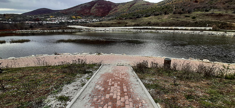
Is it used for tourism?: Yes
If not, is there potential for tourism in the future?: /
Road infrastructure to the location: Good
Marking and orientation to the location: There are no road signs
Tables on site: There is no table at all
.


Get Directions
Visited 492 times, 7 Visits today


