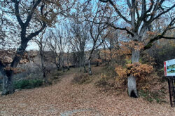
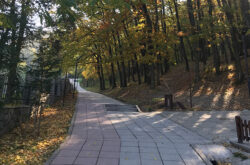
Korisha Waterfalls

8GJ27R33+83

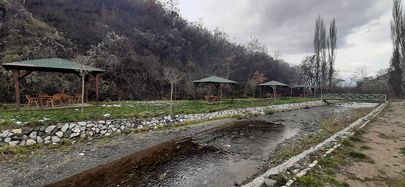
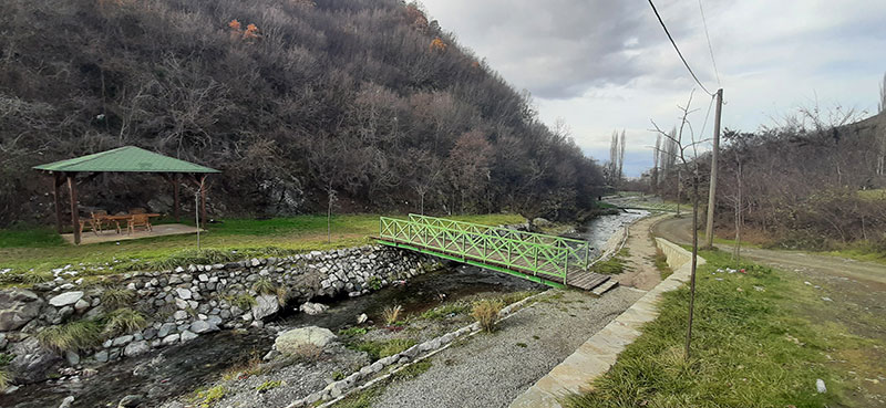
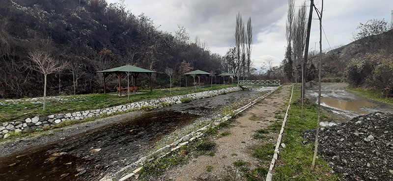
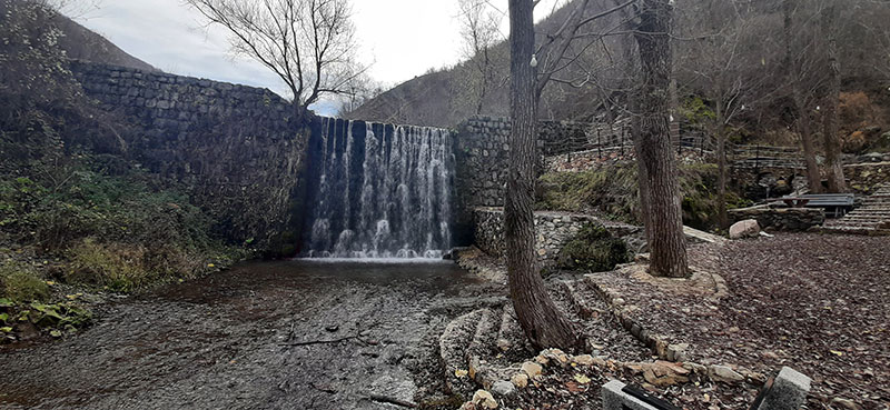
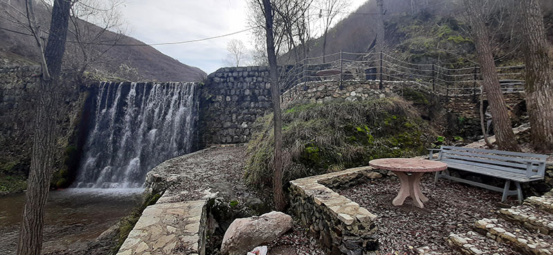
The waterfalls, which were built in the 1960s in order to protect the village from floods, offer a special area for excursions and sightseeing of the country’s natural and cultural landscape.

Georeference: 42.253308 20.802658
Category: Natural Assets
Subcategory: Marked path
Legal Status of Protection: No
Is it used for tourism?: Yes
If not, is there potential for tourism in the future?: /
Road infrastructure to the location: Not so good
Marking and orientation to the location: There are signposts
Tables on site: There is no table at all
Visited 518 times, 3 Visits today

Posted in Natural Assets and Waterfall

Related Listings

Pedestrian and bicycle path downhill between the villages of Domanek and Bubël/Bublje. Georeference: 42.5252709; 20.6720655 Category: Natural Assets Subcategory: Marked path Legal Status of Protection: No Is it used for tourism?: No If not, is there potential for tourism in the future?: Yes Road infrastructure to the location: Good Marking… Read more…

The Black Stone

8GJ24QCQ+6R

The Black Stone is one of the peaks of the Sharr mountains. It is located at 2536 m above sea level. Next to it is the ski resort of Brezë/Brezovica. Georeference: 42.120545; 20.789624 Category: Natural Assets Subcategory: Mountain peak/Summit Legal Status of Protection: As part of the National Park “Sharri”.… Read more…

Monument natyror me karakter botanik në fshatin Bubël Gjeoreferenca: 42.52331; 20.654608 Plus Code – Google Maps: 8GJ2GMF3+8R Kategoria: Natyrë Nënkategoria: Trung Statusi ligjor i mbrojtjes: Po. Kategoria: Monument natyror. Kodi: MN_092 A përdoret për turizëm?: Jo. Nëse jo, a ka potencial për turizëm në të ardhmen?: Po. Infrastruktura rrugore deri… Read more…