Korisha Waterfalls

8GJ27R33+83

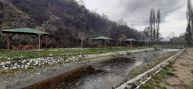
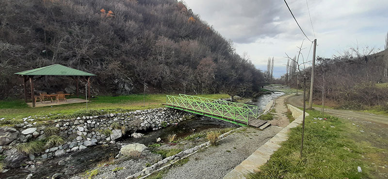
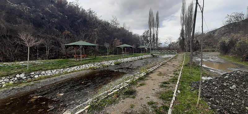
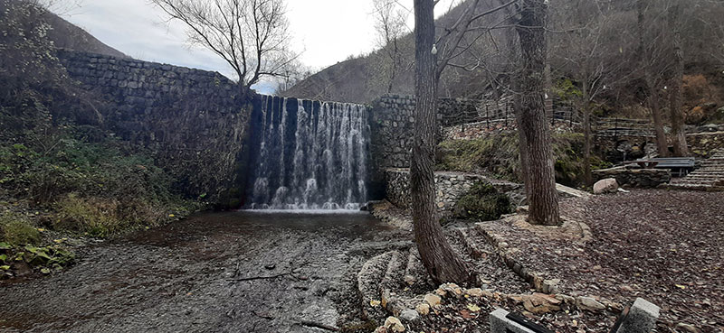
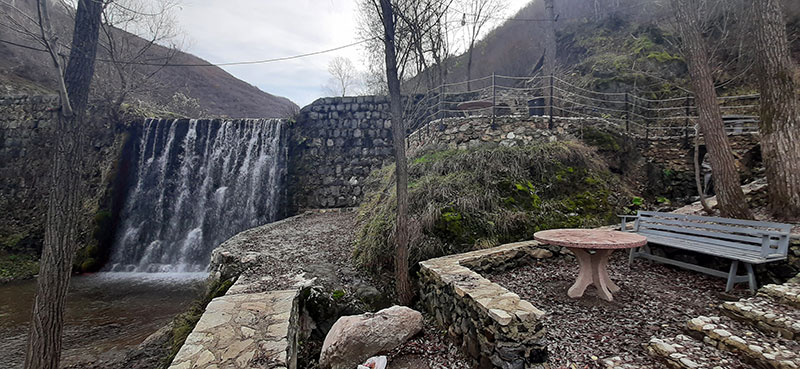
The waterfalls, which were built in the 1960s in order to protect the village from floods, offer a special area for excursions and sightseeing of the country’s natural and cultural landscape.

Georeference: 42.253308 20.802658
Category: Natural Assets
Subcategory: Marked path
Legal Status of Protection: No
Is it used for tourism?: Yes
If not, is there potential for tourism in the future?: /
Road infrastructure to the location: Not so good
Marking and orientation to the location: There are signposts
Tables on site: There is no table at all
Visited 516 times, 1 Visit today

Posted in Natural Assets and Waterfall

Related Listings

Bicycle path – Cvilen

8GJ25QG5+V4, Prizren

2.8 km long downhill bike trail Georeference: 42.177219 20.757767 Category: Natural Assets Subcategory: Marked path Legal Status of Protection: No Is it used for tourism?: Yes If not, is there potential for tourism in the future?: / Road infrastructure to the location: Good Marking and orientation to the location: There…

Mirusha/Miruša waterfalls were declared a Regional Nature Park in 1982/83. by the municipalities of Klina and Rahovec/Orahovac, and now they have been inherited by the municipality of Malishevë/Mališevo with an area of 555,80,70 ha. The Government of the Republic of Kosovo made a decision in 2012 to declare the Mirusha/Miruša… Read more…

KLA Hill in Ngucat

8GJ2FV77+V7

Georeference: 42.464722 20.863138 Category: Natural Assets Subcategory: Hill Legal Status of Protection: No Is it used for tourism?: Yes If not, is there potential for tourism in the future?: / Road infrastructure to the location: Good Marking and orientation to the location: There are no road signs Tables on site:…