Porodin

8GJ25QM3+8P

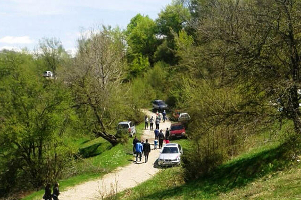
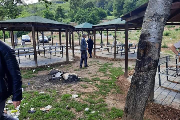
A picnic area where the local community usually gathers to celebrate International Labor Day on May 1.

Georeference: 42.183270 20.754349
Category: Natural Assets
Subcategory: Hill
Legal Status of Protection: No
Is it used for tourism?: Yes
If not, is there potential for tourism in the future?: /
Road infrastructure to the location: Not so good
Marking and orientation to the location: There are no road signs
Tables on site: There is no table at all
Visited 293 times, 1 Visit today

Posted in Hill and Natural Assets

Related Listings

Lake of Brezne

8GJ24JJR+6G

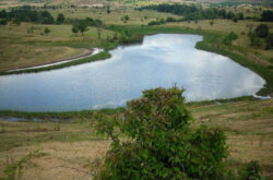
The length of the lake is about 250m, the width is 100m, and the greatest depth is about 10m. The water is green around the banks and is covered with shavar and other lake plants. There is also a willow tree on the edge of the lake. Georeference: 42.130612419465926, 20.641282751793476…

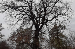
A natural monument of botanical character. According to residents, residents use this location for excursions. Local residents also call it the “Oak of Love”. Georeference: 42.434451; 20.597967 Category: Natural Assets Subcategory: Oak Legal Status of Protection: Category: Natural Monument. Code: MN_141 Is it used for tourism?: Yes If not, is…

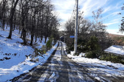
Walking path from the village of Pouskë/Pousko to Bellavodë/Bela Voda. Georeference: 42.1958888 20.7563898 Category: Natural Assets Subcategory: Marked path Legal Status of Protection: No Is it used for tourism?: Yes If not, is there potential for tourism in the future?: / Road infrastructure to the location: Good Marking and orientation… Read more…