Korisha Waterfalls

8GJ27R33+83

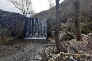
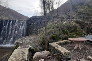
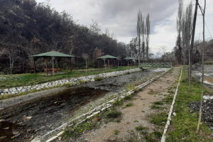
The waterfalls, which were built in the 1960s in order to protect the village from floods, offer a special area for excursions and sightseeing of the country’s natural and cultural landscape.

Georeference: 42.253308 20.802658
Category: Natural Assets
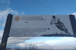
Subcategory: Marked path
Legal Status of Protection: No
Is it used for tourism?: Yes
If not, is there potential for tourism in the future?: /
Road infrastructure to the location: Not so good
Marking and orientation to the location: There are signposts
Tables on site: There is no table at all

Visited 337 times, 1 Visit today

Posted in Natural Assets and Waterfall

Related Listings

The Gurra stream comes from Lake of Brezne, and the village is also known for trout farming. Georeference: 42.17794245020016, 20.669230558559043 Category: Natural Assets Subcategory: River Legal Status of Protection: No Is it used for tourism?: Yes If not, is there potential for tourism in the future?: / Road infrastructure to…

Pashallore

8GJ26WR5+XR, Prizren

The peak of Pashallore is located at an altitude of 2092 m above sea level, and the reserve covers an area of 400 ha within the Sharri National Park. The peak of Pashallore is also known as The peak of Bajrak by the local population. Georeference: 42.242434360296166, 20.90957315532768 Category: Natural…

KLA Hill in Ngucat

8GJ2FV77+V7

Georeference: 42.464722 20.863138 Category: Natural Assets Subcategory: Hill Legal Status of Protection: No Is it used for tourism?: Yes If not, is there potential for tourism in the future?: / Road infrastructure to the location: Good Marking and orientation to the location: There are no road signs Tables on site:…