Korisha Waterfalls

8GJ27R33+83

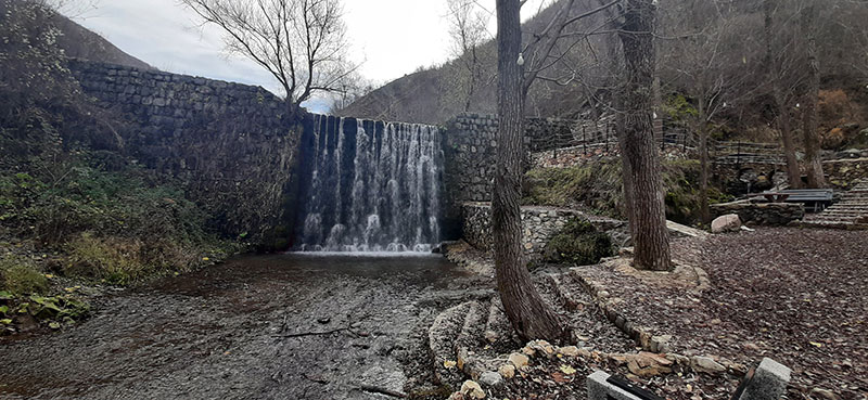
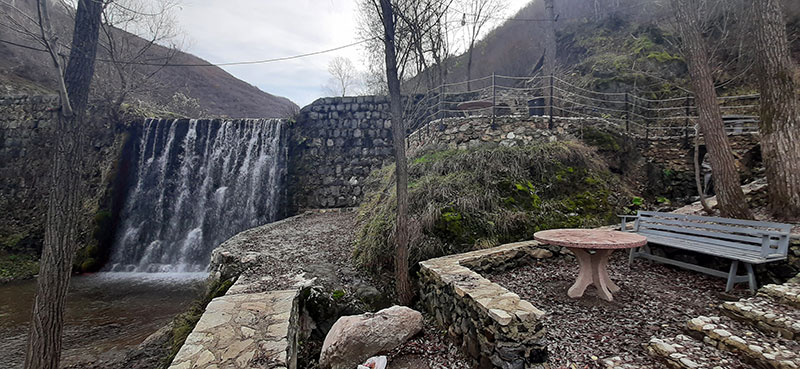
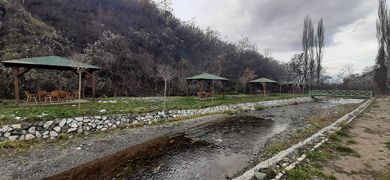
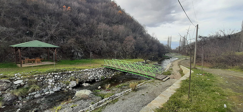
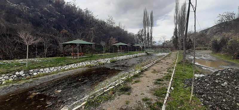
The waterfalls, which were built in the 1960s in order to protect the village from floods, offer a special area for excursions and sightseeing of the country’s natural and cultural landscape.

Georeference: 42.253308 20.802658
Category: Natural Assets
Subcategory: Marked path
Legal Status of Protection: No
Is it used for tourism?: Yes
If not, is there potential for tourism in the future?: /
Road infrastructure to the location: Not so good
Marking and orientation to the location: There are signposts
Tables on site: There is no table at all

Visited 341 times, 5 Visits today

Posted in Natural Assets and Waterfall

Related Listings

Hiking trails in Suharekë/Suva Reka

Palestra e Sporteve '13 Qershori', Brigada 123, Therandë

Walking paths in the city of Suharekë/Suva Reka are located in the city park. These paths are marked, equipped with urban furniture and at the same time with greenery. Also, at the beginning of the trail, you have the opportunity to stop and see Tyrbe Lezi shrine, which is an… Read more…

Lake of Brezne

8GJ24JJR+6G

The length of the lake is about 250m, the width is 100m, and the greatest depth is about 10m. The water is green around the banks and is covered with shavar and other lake plants. There is also a willow tree on the edge of the lake. Georeference: 42.130612419465926, 20.641282751793476…

Mirusha/Miruša waterfalls were declared a Regional Nature Park in 1982/83. by the municipalities of Klina and Rahovec/Orahovac, and now they have been inherited by the municipality of Malishevë/Mališevo with an area of 555,80,70 ha. The Government of the Republic of Kosovo made a decision in 2012 to declare the Mirusha/Miruša… Read more…