Southern Kosova Potentials

Marked Path

Hiking trails in Suharekë/Suva Reka

Palestra e Sporteve '13 Qershori', Brigada 123, Therandë

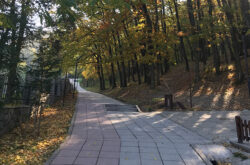
Walking paths in the city of Suharekë/Suva Reka are located in the city park. These paths are marked, equipped with urban furniture and at the same time with greenery. Also, at the beginning of the trail, you have the opportunity to stop and see Tyrbe Lezi shrine, which is an… Read more…

White Drin hiking trail

R107, Gjakova

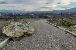
Pedestrian path between Fshajt bridge/Sacred bridge and the castle of Gexha/Gedža. Georeference: 42.3534334 20.5427539 Category: Natural Assets Subcategory: Marked path Legal Status of Protection: / Is it used for tourism?: Yes If not, is there potential for tourism in the future?: / Road infrastructure to the location: Good Marking and… Read more…

Bicycle path – Cvilen

8GJ25QG5+V4, Prizren

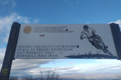
2.8 km long downhill bike trail Georeference: 42.177219 20.757767 Category: Natural Assets Subcategory: Marked path Legal Status of Protection: No Is it used for tourism?: Yes If not, is there potential for tourism in the future?: / Road infrastructure to the location: Good Marking and orientation to the location: There…

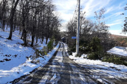
Walking path from the village of Pouskë/Pousko to Bellavodë/Bela Voda. Georeference: 42.1958888 20.7563898 Category: Natural Assets Subcategory: Marked path Legal Status of Protection: No Is it used for tourism?: Yes If not, is there potential for tourism in the future?: / Road infrastructure to the location: Good Marking and orientation… Read more…

Pedestrian and bicycle path downhill between the villages of Domanek and Bubël/Bublje. Georeference: 42.5252709; 20.6720655 Category: Natural Assets Subcategory: Marked path Legal Status of Protection: No Is it used for tourism?: No If not, is there potential for tourism in the future?: Yes Road infrastructure to the location: Good Marking… Read more…