White Drin hiking trail

R107, Gjakova

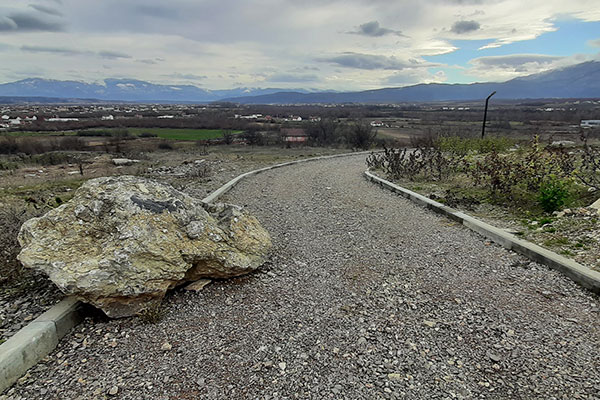
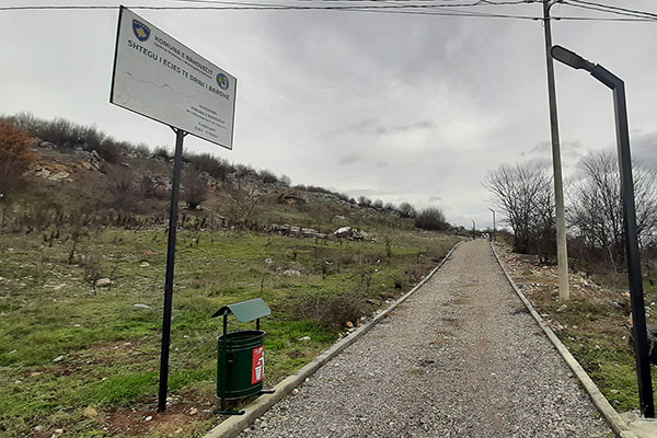
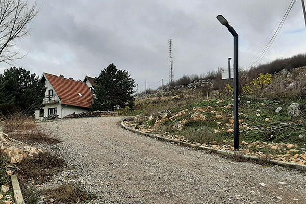
Pedestrian path between Fshajt bridge/Sacred bridge and the castle of Gexha/Gedža.

Georeference: 42.3534334 20.5427539
Category: Natural Assets
Subcategory: Marked path
Legal Status of Protection: /
Is it used for tourism?: Yes
If not, is there potential for tourism in the future?: /
Road infrastructure to the location: Good
Marking and orientation to the location: There are no road signs
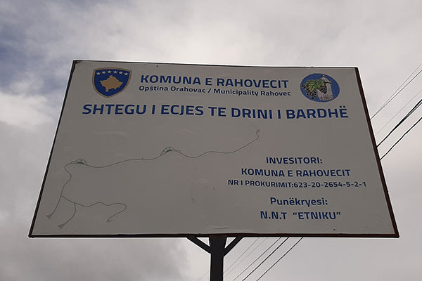
Tables on site: There are information boards

Visited 98 times, 1 Visit today

Posted in Marked Path and Natural Assets

Related Listings

The Black Stone

8GJ24QCQ+6R

The Black Stone is one of the peaks of the Sharr mountains. It is located at 2536 m above sea level. Next to it is the ski resort of Brezë/Brezovica. Georeference: 42.120545; 20.789624 Category: Natural Assets Subcategory: Mountain peak/Summit Legal Status of Protection: As part of the National Park “Sharri”.… Read more…

The Gurra stream comes from Lake of Brezne, and the village is also known for trout farming. Georeference: 42.17794245020016, 20.669230558559043 Category: Natural Assets Subcategory: River Legal Status of Protection: No Is it used for tourism?: Yes If not, is there potential for tourism in the future?: / Road infrastructure to…

Mirusha/Miruša waterfalls were declared a Regional Nature Park in 1982/83. by the municipalities of Klina and Rahovec/Orahovac, and now they have been inherited by the municipality of Malishevë/Mališevo with an area of 555,80,70 ha. The Government of the Republic of Kosovo made a decision in 2012 to declare the Mirusha/Miruša… Read more…