Southern Kosova Potentials


Overview
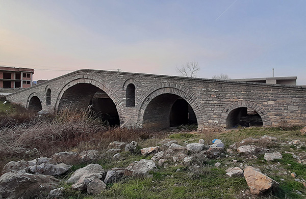
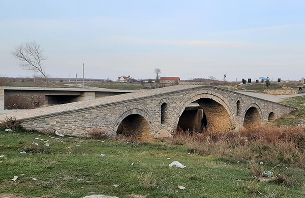
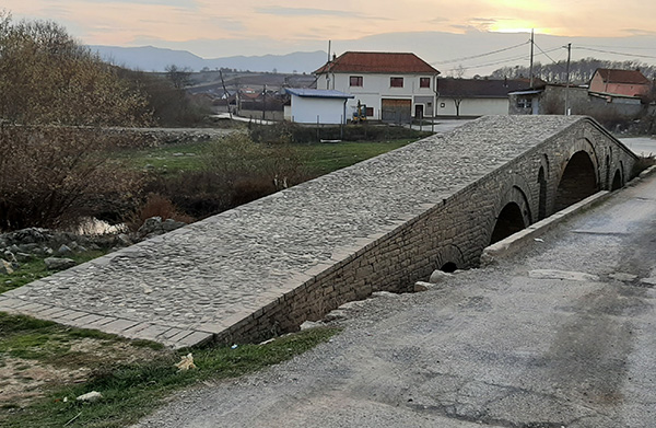
The bridge was built over the river Mirusha/Miruša, which connects the village of Bubël with Çupevë. The Bridge of Bubël/Bublje is typical of arched bridges from the 18th and 19th centuries in the region, built from local materials. The number of arches and the footpath were adapted to the construction site, while the gutters and drainage windows were a hydro-engineering necessity because there were frequent floods in this area. The bridge has four arches. The central arch has a diameter of 8.35 m, while the side arches measure 3.85, 3.0 and 1.65 m. The length of the bridge is 30 meters, and the width is 3.2 meters. The bridge also has two waste windows built into either side of the main arch. Except for the small arch, the other three arches are built with two rows of vaults made of local stone. The entire bridge is built of black stone, while the footpath is paved with river stones and shale at both ends.
Georeference: 42.523496 20.65329
Category: Cultural Assets
Subcategory: Bridge
Legal Status of Protection: Category: Architectural heritage, Subcategory: Monument/Ensemble, Serial No.: 521, Unique No.: 1270
Is it used for tourism?: Yes
If not, is there potential for tourism in the future?: /
Road infrastructure to the location: Good
Marking and orientation to the location: There are no road signs
Tables on site: There is no table at all


Get Directions
Visited 212 times, 1 Visit today