Overview
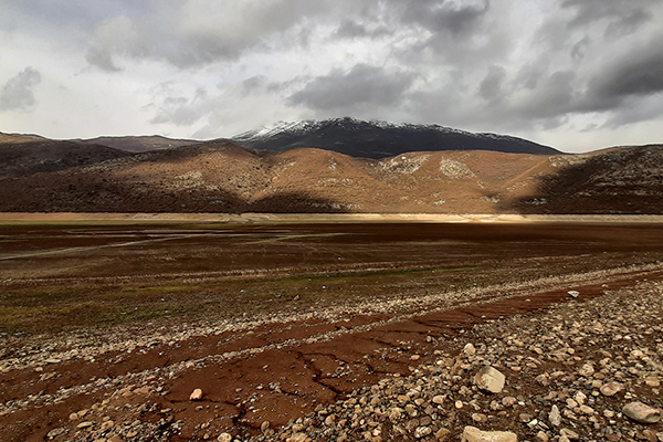
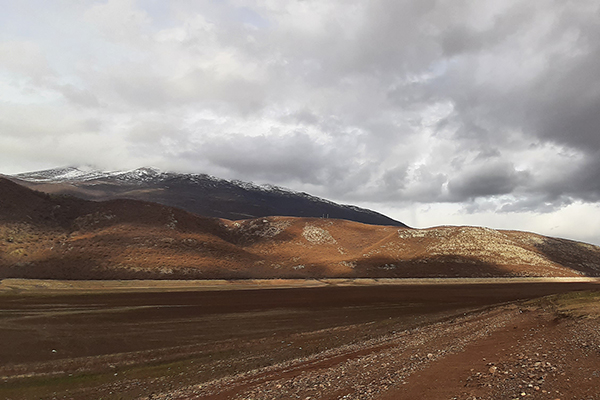
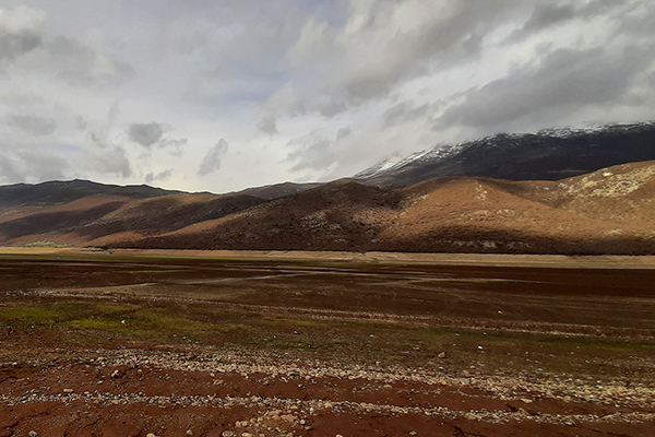
The mountains of Pashtrik, together with the mountains of Sharr and Accursed Mountains, represent an important center of biodiversity, not only in Kosovo but also in the region. Based on the research, it was determined that this area is very rich in floristic, faunal and different geomorphological forms, where there are a large number of caves and sinkholes (geomonuments) that have not yet been explored. Pashtrik/Paštrik lies between the two main mountain massifs of the country, the Sharr mountains and the massif of the Albanian Alps. Orthographic features are highlighted by the ups and downs of terrain with sloping relief, especially in the southern and southwestern parts of the unit. The geological base consists of Triassic rocks and Mesozoic limestones. The lowest altitude is 270 meters, which is also the lowest point above sea level in the country, while the highest point is the peak of Pashtrik at a height of 1988 m above sea level. Lake of Vërmica is a continuation of the artificial lake Fierza, which was created in the lower reaches of the White Drin river at the outlet of the river in the territory of Albania. The altitude is 274 meters and the area is 266 hectares. Since 1978, Lake of Vërmica has been used by the Fierza hydroelectric power plant. The surface of the lake is very variable and depends on the amount of water flow from White Drin. It reaches its maximum levels in the months: December – May, while in periods of lack of precipitation, the surface of the lake decreases significantly, including only the bed of the White Drin river in the months of June – November.
Georeference: 42.1636691 20.560284
Category: Natural Assets
Subcategory: Mountain peak/Summit, Lake
Legal Status of Protection: Category: Nature Park. Code: PN_002
Is it used for tourism?: Yes
If not, is there potential for tourism in the future?: /
Road infrastructure to the location: Good
Marking and orientation to the location: There are no road signs
Tables on site: There is no table at all


Get Directions
Visited 178 times, 2 Visits today
")

