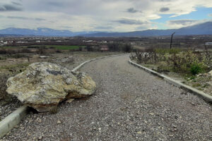
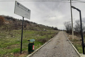
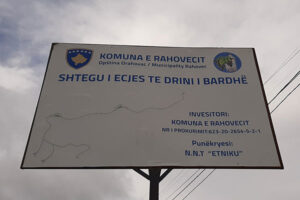
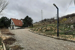
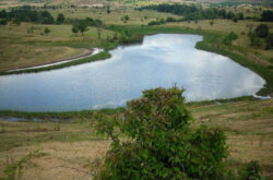
White Drin hiking trail

R107, Gjakova

Pedestrian path between Fshajt bridge/Sacred bridge and the castle of Gexha/Gedža.

Georeference: 42.3534334 20.5427539
Category: Natural Assets
Subcategory: Marked path
Legal Status of Protection: /
Is it used for tourism?: Yes
If not, is there potential for tourism in the future?: /
Road infrastructure to the location: Good
Marking and orientation to the location: There are no road signs
Tables on site: There are information boards

Visited 99 times, 1 Visit today

Posted in Marked Path and Natural Assets

Related Listings

Natural monument of speleological character in Zatriq/Zatrić village. Georeference: 42.4667317; 20.6282939 Category: Natural Assets Subcategory: Cave Legal Status of Protection: Category: Natural Monument. Code: MN_145 Is it used for tourism?: No If not, is there potential for tourism in the future?: Yes Road infrastructure to the location: Not so good… Read more…

Pashallore

8GJ26WR5+XR, Prizren

The peak of Pashallore is located at an altitude of 2092 m above sea level, and the reserve covers an area of 400 ha within the Sharri National Park. The peak of Pashallore is also known as The peak of Bajrak by the local population. Georeference: 42.242434360296166, 20.90957315532768 Category: Natural…

The Black Stone

8GJ24QCQ+6R

The Black Stone is one of the peaks of the Sharr mountains. It is located at 2536 m above sea level. Next to it is the ski resort of Brezë/Brezovica. Georeference: 42.120545; 20.789624 Category: Natural Assets Subcategory: Mountain peak/Summit Legal Status of Protection: As part of the National Park “Sharri”.… Read more…