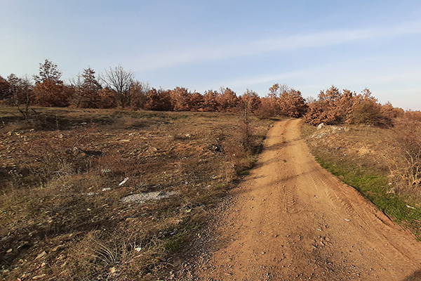
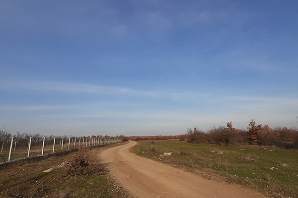
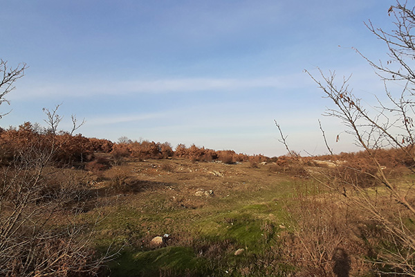
Domanek – Bubël hiking trail

8GJ2GMGC+4R

Pedestrian and bicycle path downhill between the villages of Domanek and Bubël/Bublje.

Georeference: 42.5252709; 20.6720655
Category: Natural Assets
Subcategory: Marked path
Legal Status of Protection: No
Is it used for tourism?: No
If not, is there potential for tourism in the future?: Yes
Road infrastructure to the location: Good
Marking and orientation to the location: There are no road signs
Tables on site: There is no table at all

Visited 148 times, 2 Visits today

Posted in Marked Path and Natural Assets

Related Listings

Korisha Waterfalls

8GJ27R33+83

The waterfalls, which were built in the 1960s in order to protect the village from floods, offer a special area for excursions and sightseeing of the country’s natural and cultural landscape. Georeference: 42.253308 20.802658 Category: Natural Assets Subcategory: Marked path Legal Status of Protection: No Is it used for tourism?:… Read more…

The mountains of Pashtrik, together with the mountains of Sharr and Accursed Mountains, represent an important center of biodiversity, not only in Kosovo but also in the region. Based on the research, it was determined that this area is very rich in floristic, faunal and different geomorphological forms, where there… Read more…

Pashallore

8GJ26WR5+XR, Prizren

The peak of Pashallore is located at an altitude of 2092 m above sea level, and the reserve covers an area of 400 ha within the Sharri National Park. The peak of Pashallore is also known as The peak of Bajrak by the local population. Georeference: 42.242434360296166, 20.90957315532768 Category: Natural…